Other Tools
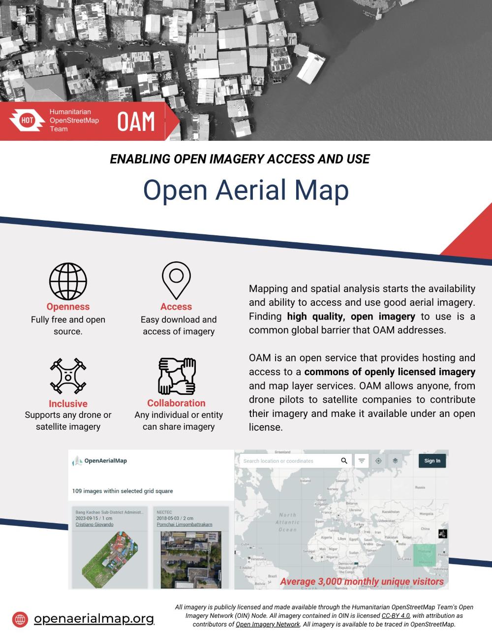
OpenAerialMap (OAM)

Note
OpenAerialMap was originally developed by HOT in 2015 and has since undergone multiple revisions.
Due to lack of funding, contributors such as Kontur now maintain OAM.
It is still an important tool in the Open Mapping ecosystem.
Links:
Export Tool
Note
Export Tool currently works fine, using raw-data-api as it's data extraction backend.
However, feature developments are likely paused into the future.
Links: